Comprehensive Geospatial &
Software Solutions
Tailored for enterprises demanding precision, scalability, and innovation at every layer.

Data Management
Comprehensive GIS data management services including integration, conversion, migration, geodatabase design, data cleaning, and quality assurance.
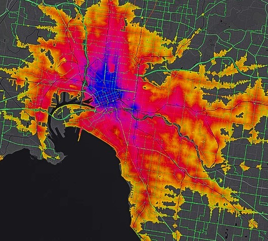
Mapping & Spatial Analysis
Advanced mapping and spatial analysis to transform geographic data into meaningful insights. Map creation, spatial modeling, and pattern analysis.
Mobile Apps Development
Custom GIS-based mobile applications for field operations with real-time data capture, GPS tracking, and offline functionality.
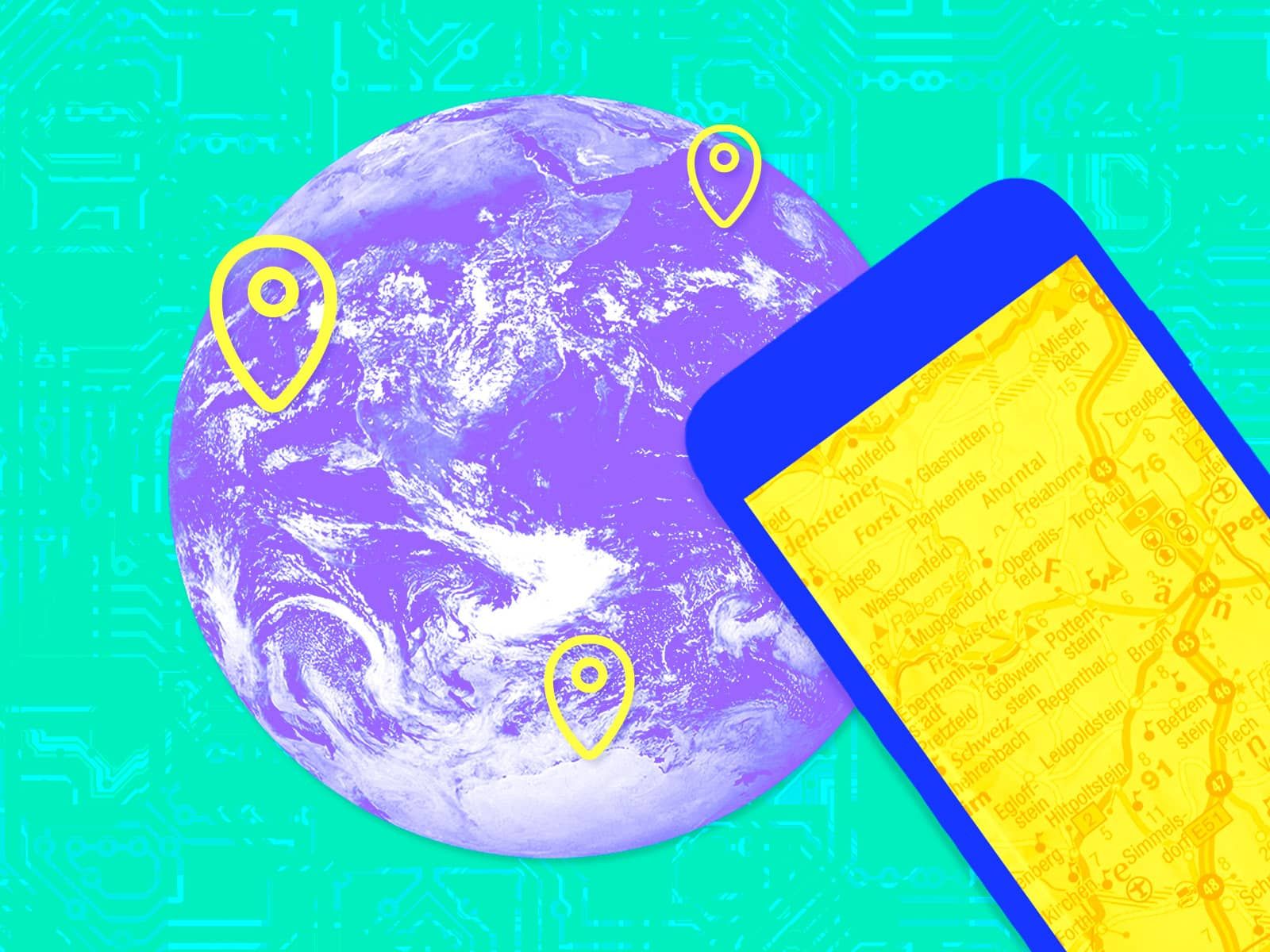
Geospatial Intelligence
Integration of satellite imagery, remote sensing, and spatial analytics to gain deeper insights into patterns, risks, and opportunities.

GIS Consulting
Expert GIS consulting for strategy development, system architecture planning, and workflow optimization to maximize geospatial investments.
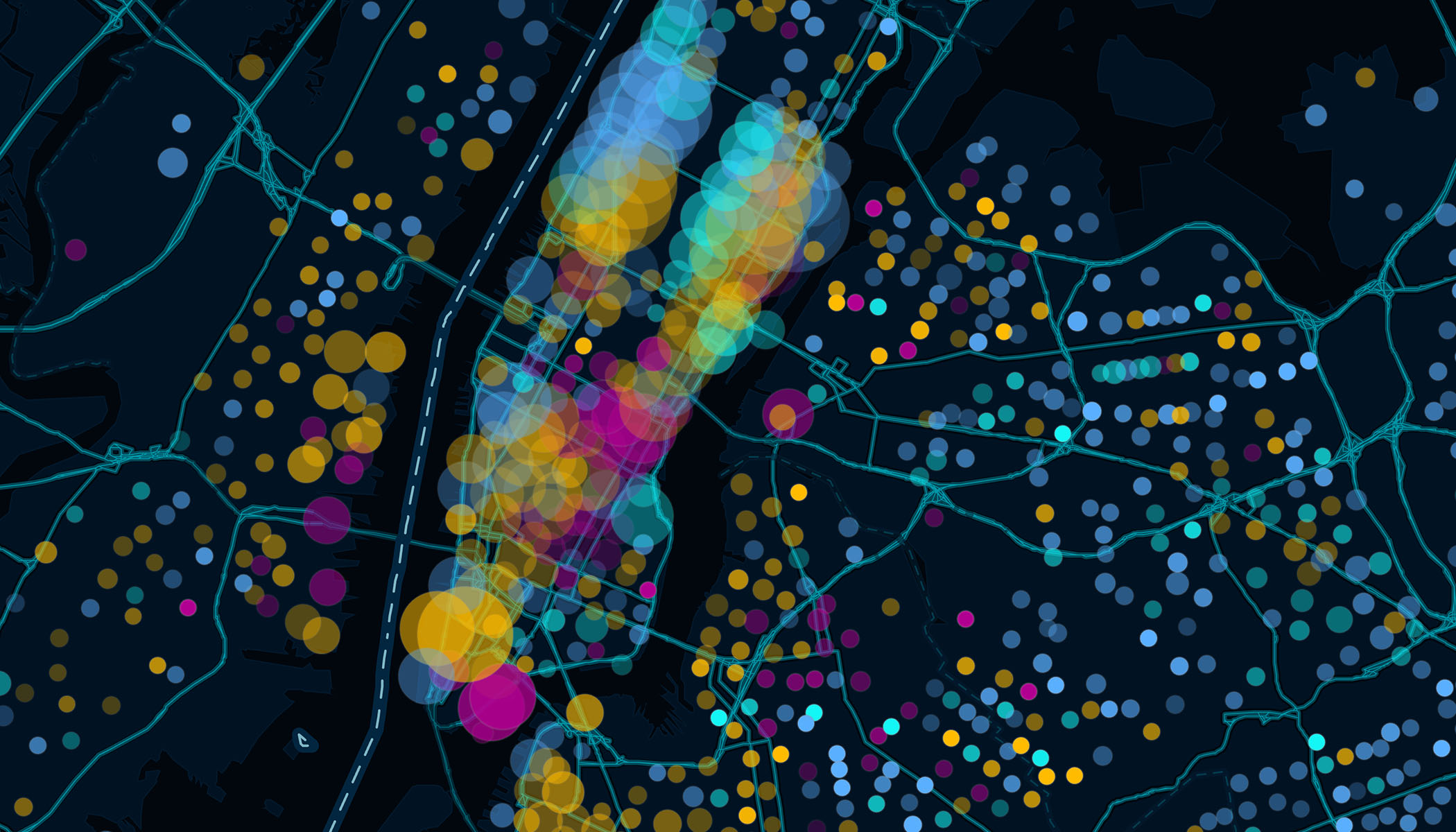
Web GIS Development
Interactive web-based GIS applications and dashboards with intuitive interfaces for real-time data visualization and collaboration.
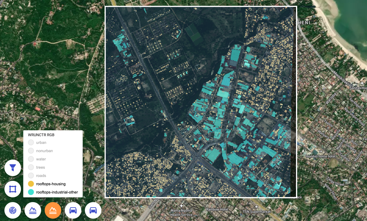
Remote Sensing & Analysis
Satellite imagery analysis for land use, environmental changes, and terrain conditions to support monitoring and sustainable resource management.

Software Development
Custom software specialized to your business needs with seamless integration and user-friendly designs for optimal performance.

Web Application Dev
Dynamic, scalable web apps with modern technologies like React.js and Node.js to enhance performance and user experience.

Hosting & Cloud Solutions
Reliable hosting and scalable cloud services to keep your apps secure, available, and optimized for peak performance.

E-Commerce Solutions
Specialized online stores with integrated payment systems, product management, and customer engagement tools.

API Development & Integration
Custom APIs that connect systems, streamline data flow, and enhance functionality across your enterprise ecosystem.